
Corridor Intelligence
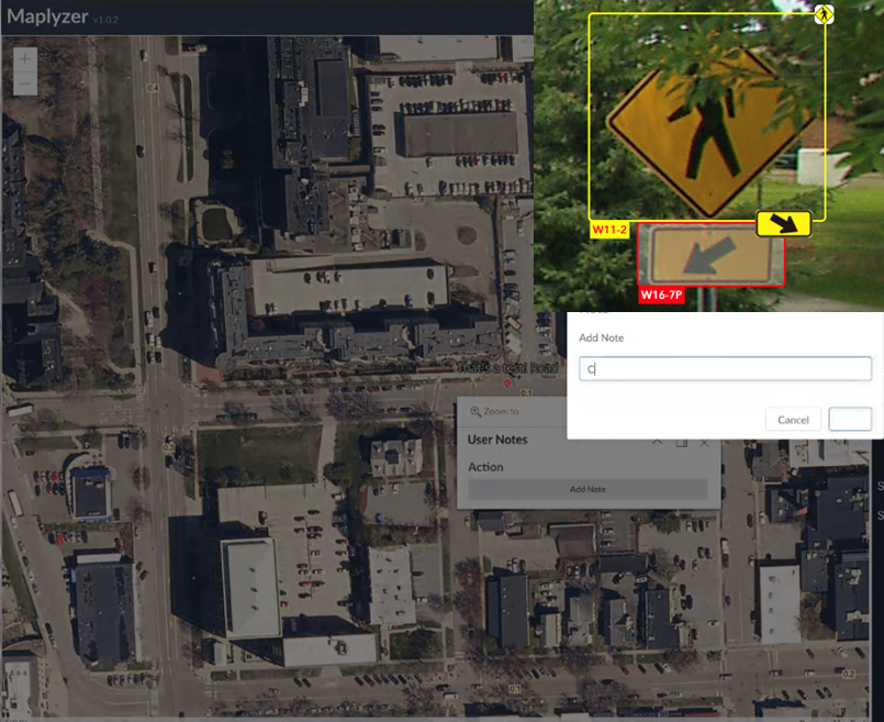
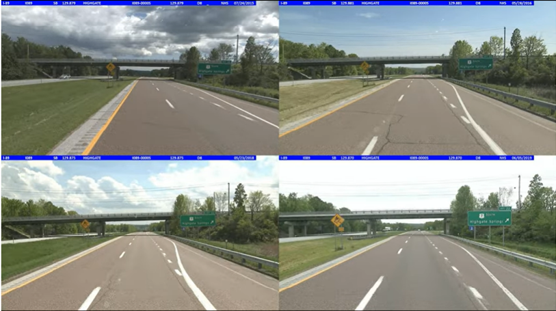
Track a corridor across years and image passes to see exactly what changed, and where without re-driving the route to find out.
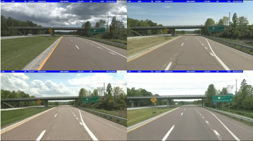
- Compare the same stretch of road across multiple years of imagery.
- Identify new and missing assets along a defined corridor.
- Reduce redundant data collection by reusing prior passes.
- Build a corridor-level history instead of isolated point-in-time snapshots.
Corridor Monitoring
Instead of reviewing a corridor asset by asset, Maplyzer lets you track and visualize road assets across multiple image frames and multiple years as a single continuous record. New and missing assets are identified and reported back automatically, so a corridor-wide sign dataset and its history stay current without repeated manual review.
Tracking assets across consecutive images and years also helps remove redundant data and captures how a corridor actually changes over time.
Vegetation Management
Visibility Analysis is the capability behind vegetation management along a corridor: it detects changes in sign and asset visibility caused by environmental factors foliage growth chief among them and helps schedule timely trimming or asset repositioning before a sign becomes obscured.
Applied corridor-wide, that means vegetation-related visibility issues surface as part of the same review pass, rather than as a separate program.
What Are the Benefits?
- A single, continuous view of a corridor instead of disconnected inspection points.
- Less redundant data collection and re-driving of the same route.
- Vegetation and visibility issues surfaced automatically, corridor-wide.
- A defensible, time-stamped history for every mile of coverage.
Corridor Intelligence is powered by MapRunner's multi-year tracking and MapAssets' visibility analysis.
See the MapRunner interface →